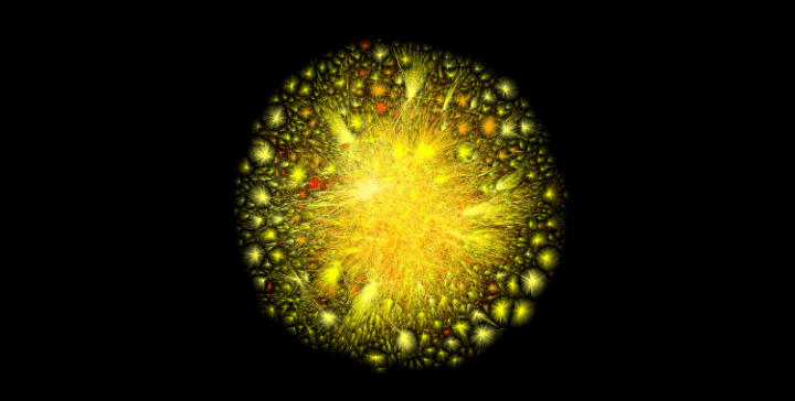
This image was generated by computer software in 2010 to map Internet networks. Since then, the image has been on display at the Museum of Modern Art in New York City.
The Opte Project created the original map in 2003 using different colors (showing internet activity according to continents). See my first post about the Internet map if you’d like to see the 2003 image.
If you want to know how the computer programmer mapped the Internet, read the FAQ page on Opte.org.
NOTE: This image was released last year under a creative commons license, which allows anyone to use it for non-commercial purposes. If you want a print for your wall, they’re $5000 apiece.

